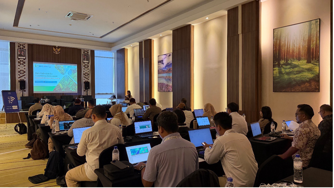
Batam, 22 April 2026 – Accurate and consistent forest monitoring depends on reliable data, yet collecting high-quality information across large and diverse landscapes remains a challenge. To address this, the UN-REDD Programme hosted a technical training on data collection and uncertainty assessment using satellite imagery in Batam from 13 to 22 April 2026, with the support of Food and Agriculture Organization of the United Nations (FAO).
Held as part of the Green for Riau initiative, the training brought together 22 participants from the Directorate of Forest Resources Inventory and Monitoring (IPSDH) and the Forest Area Strengthening Stations (BPKH) across Sumatra, as well as the Riau Measurement, Reporting, and Verification (MRV) team.
The workshop aimed to enhance participants' technical skills in satellite imagery interpretation and land use classification and change detection with standardized protocols, while supporting uncertainty assessment for Riau province’s Forest Reference Emission Level (FREL) development.
Why does data collection matter?
In regions like Riau, where landscapes are dynamic and include a mix of forests, plantations, and peatlands, improving the quality of reference data is essential to inform policies and actions. Strengthening how data is collected and interpreted helps ensure that changes such as forest loss, degradation, and recovery are accurately captured.
Reliable forest monitoring requires not only access to satellite imagery, but also consistent interpretation of the imagery and robust methodologies. Differences in interpretation, classification errors, and inconsistent sampling approaches can introduce uncertainties, affecting the accuracy of land use estimates and limiting their use for planning and reporting purposes.
“Robust uncertainty assessment is essential to strengthen forest monitoring and ensure that the data we produce is consistent and reliable. By bringing together experts from BPKH across Sumatra, we have a valuable opportunity to share knowledge and improve our collective capacity, particularly in interpreting satellite imagery and supporting stronger MRV systems in Riau,” said Job Kurniawan, Ad-interim Head of the Environment and Forestry Agency of Riau Province, during the opening of the workshop.
Strengthening data collection with FAO’s cloud-based platform Collect Earth Online
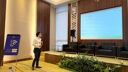
FAO’s Remote Sensing and Land Cover Assessment Specialist Paing Phyo guides the participants through the Collect Earth Online workflow and data collection protocols during the training. (FAO/Ifa Miftah)
The workshop introduced the participants to FAO’s open-access tool Collect Earth Online, a cloud-based platform that enables anyone to track land use and landscape changes anywhere through visual interpretation of high-resolution satellite imagery. The platform integrates multiple data sources such as time-series imagery and geospatial layers and helps users assess data quality using standardized protocols. CEO has been widely adopted globally, with users coming from over 50 countries.
The workshop also taught the participants to conduct data collection for uncertainty assessments and land use interpretation, helping participants consistently distinguish between forest and non-forest classes across different landscape conditions.
From training to large-scale data collection
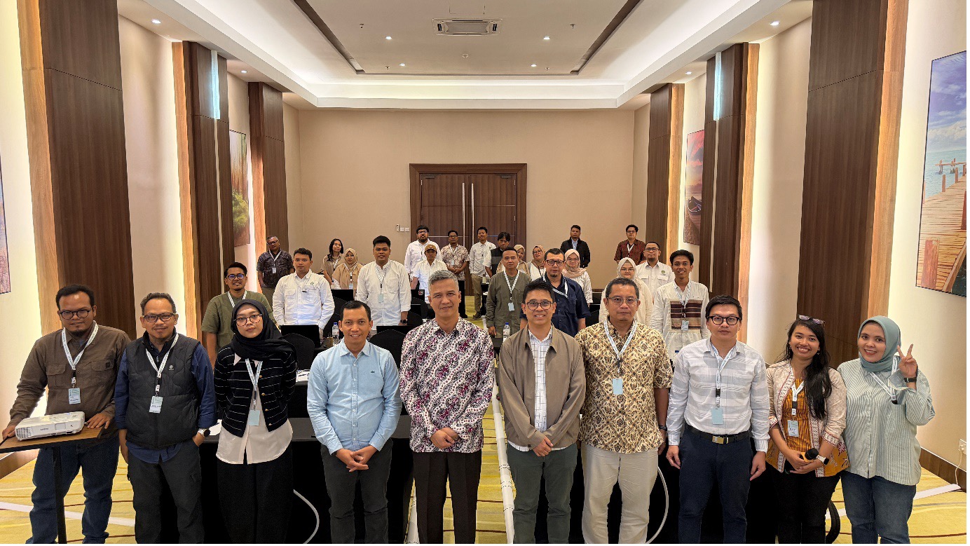
Job Kurniawan, Ad-interim Head of the Environment and Forestry Agency of Riau Province (middle) with participants and conveners of the training. (FAO/Ifa Miftah)
Using the CEO platform, participants carried out a complete data collection workflow. This process included sample interpretation, classification using predefined land use categories, and recording results through structured assessment cards. The hands-on exercises helped them identify land use conditions and changes such as forest disturbance, degradation, and recovery. Lastly, the participants learned to conduct quality assessments and reviews to ensure data collected are accurate, consistent, and reliable.
In total, approximately 5,000 sample points were assessed, distributed across systematic and stratified random sampling designs to improve representativeness and reduce uncertainty in Riau province.
Data collected through this activity will be further analysed to quantify uncertainty and improve the accuracy of forest monitoring results in Riau. The dataset is also expected to support multiple reporting needs, demonstrating the value of a multi-purpose approach where data collected once can serve different frameworks and requirements.
Beyond combining technical training with practical application, the workshop fostered active knowledge exchange among participants with strong experience in spatial data interpretation, helping harmonize methodologies across institutions. By utilizing tools like CEO, forest monitoring can be enhanced to better inform environmental decision-making and also greater access to climate finance.